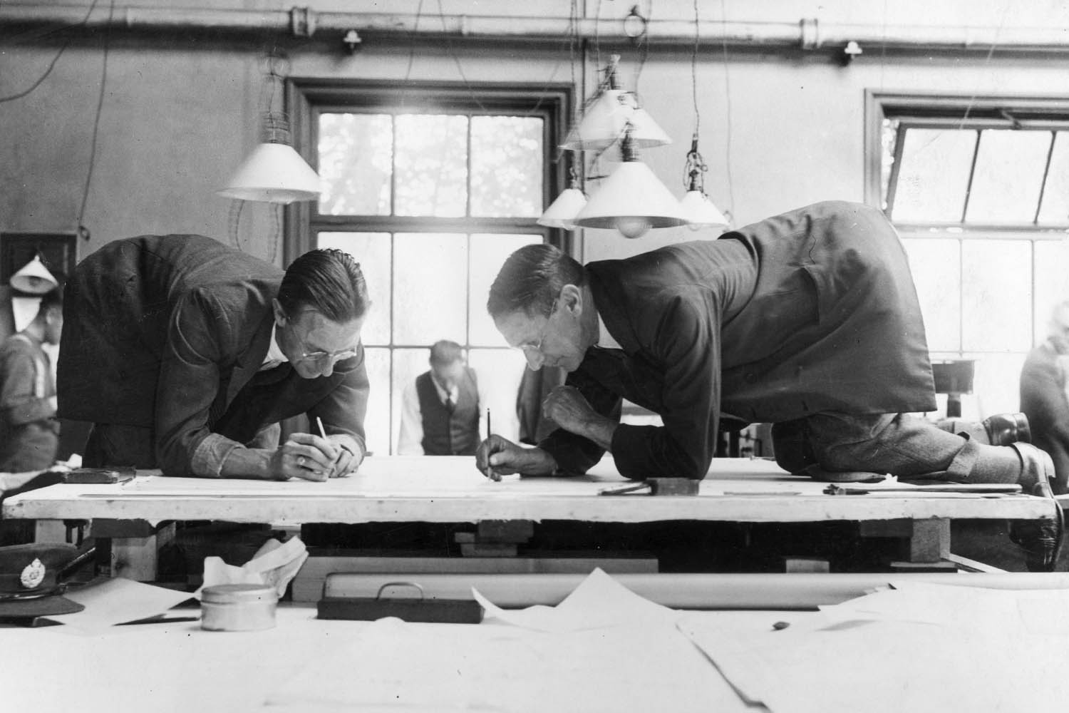

Ordnance Survey, the UK’s mapping agency, originated in 1747 as a military project by the Crown, mapping the bogs of the Scottish Lowlands to track down elusive Jacobite rebels. These days, the government-owned OS still underpins the defence of the realm by providing data for the Ministry of Defence on everything from UK coastlines to its 4 million km warren of underground pipes and cables.
But hikers and soldiers aren’t the only ones who depend on the OS’s iconic salmon-coloured contours or yellow B-roads to find their way. Businesses across the UK are using it.
OS’s annual results, released last week, saw a 4% jump in revenue to nearly £200m, alongside a slight dip in profit. The company pointed to “notable” demand from the financial services sector, and “rising demand for geospatial data to improve insurance and climate-risk mapping, underwriting and property assessments”. It has partnered with businesses including Verisk, insurer Hiscox and Experian, and embarked on profile-raising projects, such as helping to build a “digital twin” for the city of Dubai.
For CEO Nick Bolton, the main “task is to provide the invisible fabric” that makes Britain work, whether that’s in the service of “better roads, education, health or just making sure your Uber food delivery turns up”. OS estimates the average UK adult touches their data on average 42 times a day, be that using comparison websites or a travel app or deciding how to place a solar panel on a roof.
Bolton spoke to The Observer as Storm Floris battered parts of the UK with 100mph winds. As someone who can draw on 280 years of data on how Britain is changing geophysically, he says the decision to keep the mapping authority out of private hands has given the nation an advantage: instead of only focusing on climate impacts in Middlesex, it surveys the whole country. “We have to manage the impact of climate change for every citizen, not just who’s got the most acute economic interest,” he says.
OS’s transformation – from printing maps the size of a dinner table into a data giant boasting 600m location features updated 30,000 times a day – was accelerated by the pandemic, when outdoor exploration became a salve for many. “The joy that good mapping brings is something that’s in our DNA,” says Bolton, who previously ran Oxford Metrics, the company that built the motion-sensor technology behind ABBA Voyage.
The OS Maps app has more than half a million active subscribers, but Bolton admits that take-up has been slightly slower among the very youngest demographics, due to so many teens and young adults living in cities. The product is an attempt to meld “beautiful cartography that we’ve all grown up with” and a product that appeals to an audience whose “first experience of mapping was Google Maps”. One attempt to engage them this year involved re-creating an accurate Minecraft version of Great Britain by using OS data. Bolton, while an avid gamer, didn’t come up with the idea – an intern did.
Stunts like this help to raise awareness of “colourless, odourless and tasteless” data that underpins the UK. But there is at least one party taking a particular interest in OS, and that is its one and only shareholder.
The OS has proved a vital source of advice for the government and its ambitions to unlock planning and grow the economy. Bolton says the OS’s job is to provide easy answers to the questions: “Where do we build 200 houses in East Anglia? Where isn’t going to flood, [where won’t they] overload the electricity network ? Where should we bring ashore the electricity line from that tidal generator or wind farm?”
The success and longevity of these projects rests a great deal on the OS and, ultimately, on its ability to act like a tech company providing instant services. But Bolton also cautions that reading a paper map and taking a compass bearing are arts of the outdoors that we shouldn’t lose.
Newsletters
Choose the newsletters you want to receive
View more
For information about how The Observer protects your data, read our Privacy Policy
“It’s awfully hard to navigate yourself back down Helvellyn with a black phone screen.”
Photograph by Getty