
In the village of Peaslake in the heart of the Surrey Hills, ramblers and cyclists can often be seen shaking their heads and walking in circles, with their mobile phones held aloft.
“It’s a dead zone,” said Andrea Fry, who works in the village store. “You get walkers who can’t make calls or use their maps. The whole area is awful for reception.”
If people look at official maps of their mobile coverage provided by Ofcom, the communications regulator, and the network operators, the signal for the area looks pretty good. But experience tells the true story.
The Observer has seen evidence that the data provided by phone operators and cited by Ofcom as the “most comprehensive tool available to customers and businesses to check mobile coverage” is often inaccurate. Ministers have warned the regulator that millions of people who use the maps to inform decisions about which provider to use when moving house, for example, are being misled.
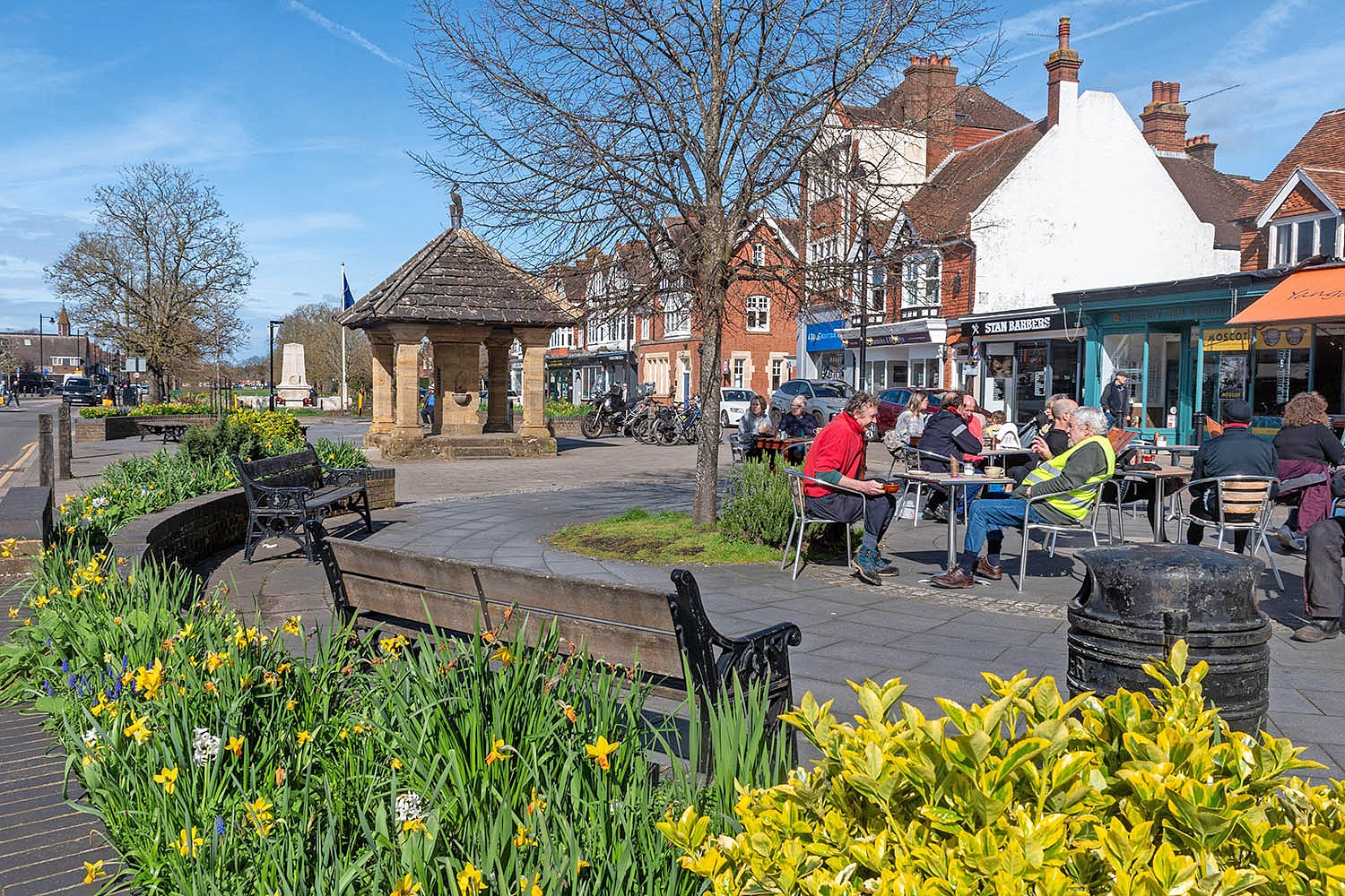
The coverage in nearby Cranleigh, one of the biggest villages in England, is so poor it has been raised in parliament by local MP and former chancellor Jeremy Hunt. Sarkant Karim, who owns a barber shop on Cranleigh high street, said: “It doesn’t matter what network you have, the reception is rubbish. It’s bad for business.”
‘I have been concerned about the discrepancy between what is reported as mobile coverage and people’s actual experience for a long time’
‘I have been concerned about the discrepancy between what is reported as mobile coverage and people’s actual experience for a long time’
Telecoms minister Sir Chris Bryant
Councils across the country have placed trackers in rubbish lorries to record mobile phone strength street by street, to compare this data with the official Ofcom statistics. The project, in which 118 councils so far have partnered with Streetwave, a network analyst firm, has covered 40% of the UK to date.
Worcestershire council published some of its data in March, claiming that mobile coverage in Worcestershire was more than “1,000 times worse than Ofcom and mobile operator data suggests”.
According to the council, Ofcom data claims that only 0.01% of Worcestershire postcodes lack access to a usable mobile signal. The council said its research found that about 10% of postcodes had no usable signal. The industry disputes the data.
“The operators have been allowed to mark their own homework,” said Adam Kent, leader of the Conservative group at Worcestershire council. Norfolk council has also found the official data did not match customer experience. Its trackers conducted about four million mobile signal tests, covering about 95% of Norfolk’s 5,500-mile road network. Around Unthank Road in Norwich, known as the “Golden Triangle”, residents describe mobile phones being unusable in some areas.
Angus Hay, chief executive of Streetwave, said many councils were now providing coverage checkers for their residents based on the research.
Newsletters
Choose the newsletters you want to receive
View more
For information about how The Observer protects your data, read our Privacy Policy
On-the ground analysis last week by Streetwave in Cranleigh using its trackers found the geographical area with acceptable coverage (defined as 5Mbps download and 2Mbps upload) was 23% for EE, 6% for Vodafone, 6% for O2 and 0% for Three. Hay said network operators often faced local opposition and planning delays when trying to install new masts.
A Commons public accounts committee report published in May last year warned “public reporting of mobile connectivity across the UK is not fit for purpose”. Research by the National Farmers Union has also found rural 4G coverage is “much further behind the reported numbers”.
Telecoms minister Sir Chris Bryant said: “I have been concerned about the discrepancy between what is reported as mobile coverage and people’s actual experience for a long time ... theoretical mobile coverage is no earthly use to anyone if you can’t actually get a signal in practice. That’s why I have been urging Ofcom to look again at this.”
The government and the mobile phone operators agreed a £1bn deal in 2019 to extend 4G coverage to 95% of the UK by the end of 2025. Ofcom considers this target has been achieved, based on the current metrics for coverage. An Ofcom spokesperson said: “We’re working to overhaul our mobile coverage checker, which we plan to relaunch in summer with new and improved data to better reflect what people can expect.”
A spokesperson for Mobile UK, which represents the mobile network operators, said: “Mobile UK disputes the findings presented by Streetwave. While we acknowledge that all models, including our own, involve predictive elements, Streetwave's conclusions are based on an extremely limited dataset, derived from just a third of councils across four nations, and are heavily skewed towards rural, low-population density areas.”
The firm is planning 38 upgrades to its sites in Surrey in the next six months, including works at Cranleigh this month.
Photograph by Alamy